This is the Washington Street Foot Bridge which crosses the Susquehanna River. I run across this bridge almost every day. I remember the very first time I visited this bridge. It was early April. The water was quite clear. I vividly recall looking down and seeing every rock, stone, and even a bike. If I had to estimate, I'd say it was about 2 feet deep at that point.
As you can see, the water is rushing over the bridge. There were points when the bridge was under so much strain it was swaying back and forth.
This picture was taken from the only open bridge, the State Street Bridge.

The Exchange Street Bridge. I use this bridge to get to Number 5 each morning. It's still closed. Again, the photo was taken from the State Street Bridge.


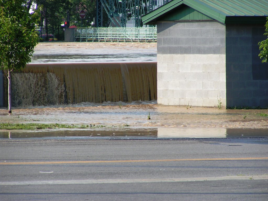
The wall in this photo is the flood wall, it's 25 fee high. On the right is a small park and Conklin Aveune which is under water. In the picture below you can see that the water was about one foot from breeching the flood wall. I've never seen a non-rapids river move as quickly as the Susquehanna on the day of the flood.

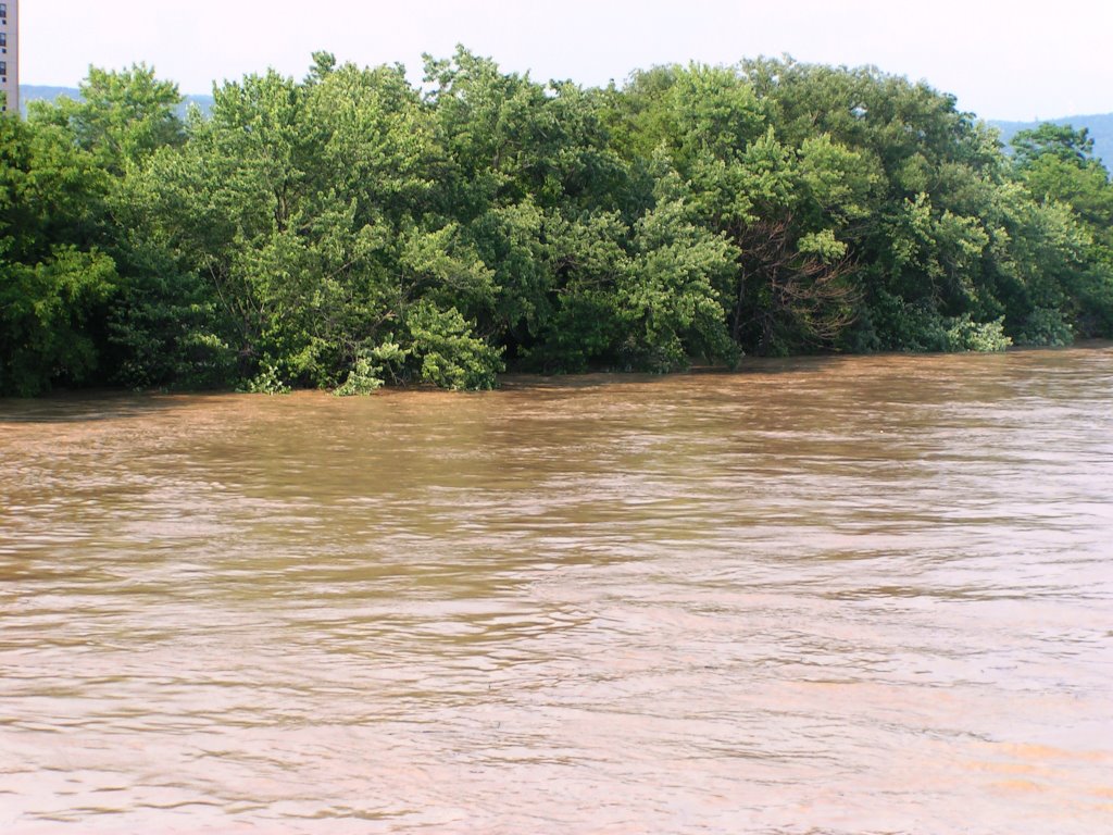
The river has climbed the trees. It's not a great way to see how quickly things are moving, but you can get the drift.
 These next few pictures are of Conklin Avenue. It's just minor compared to the flooding of some homes and businesses in the area.

 This is a shot looking from Conklin Ave. up to Pennsylvania Aveune. B & I walked around the way to where the water ends. The next few pictures are taken from that area.
 Still from the State Street Bridge, another shot of the Flood Wall. You can see the signe designating this point as an official drainage spot. Just to the right there is a section that can be lifted out. I'm not sure what was intended to drain...the river or any flooding on the street?
This is from that area near Penn. Ave. You can see the Washington Street Bridge and the flood wall which isn't as tall here because it's further away from the river.
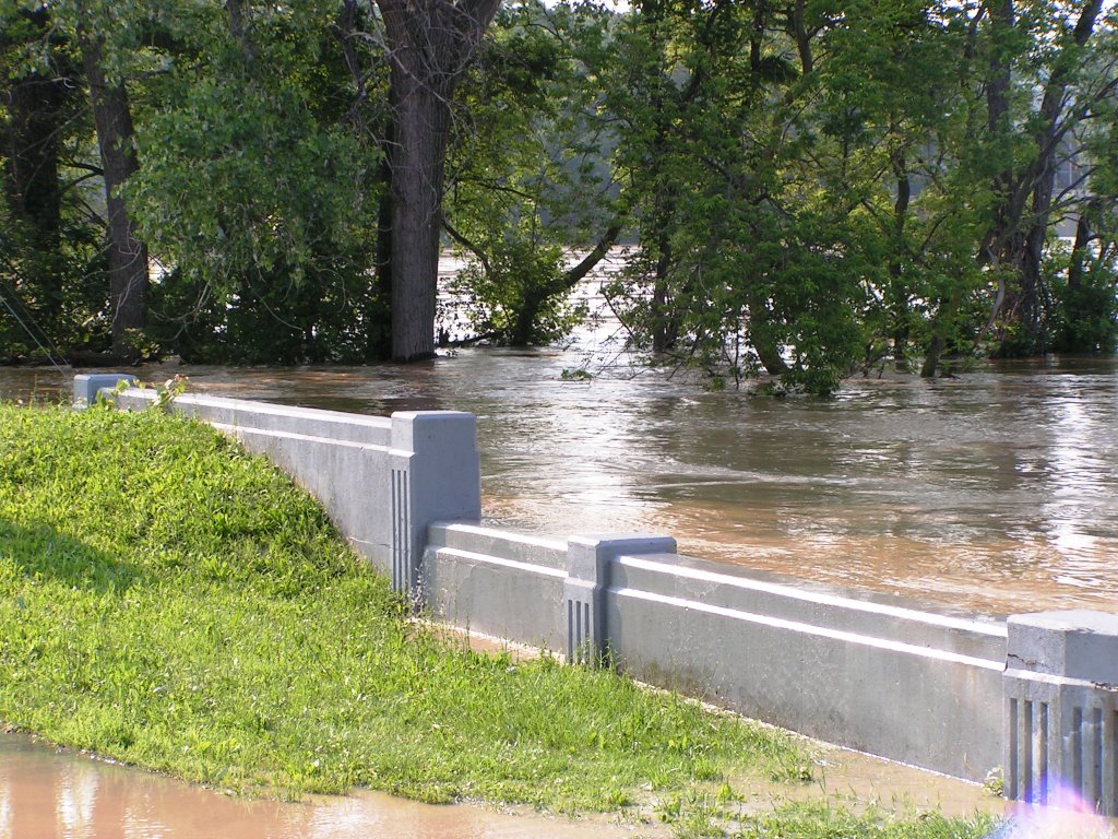
 Above and below are examples of the river overflowing it's walls. You can see the Wash. Bridge in the background above.

 Below are photos taken from the Main Street Bridge which crosses the Chenango River. The first is of the River Walk that usually runs along the entire River in downtown Binghamton. You can just see the stairs that take you down to the board walk.